Description
1) How to model the moon: A novel approach to analyzing
the hydrology and hydraulics of landscape featuring Carolina Bays
Steve Marks, PE, CFM, WithersRavenel
smarks@withersravenel.com
Co-presenters: Amanda Hollingsworth PE, CFM, ahollingsworth@withersravenel.com;
Nathaniel Eddy, EI, neddy@withersravenel.com
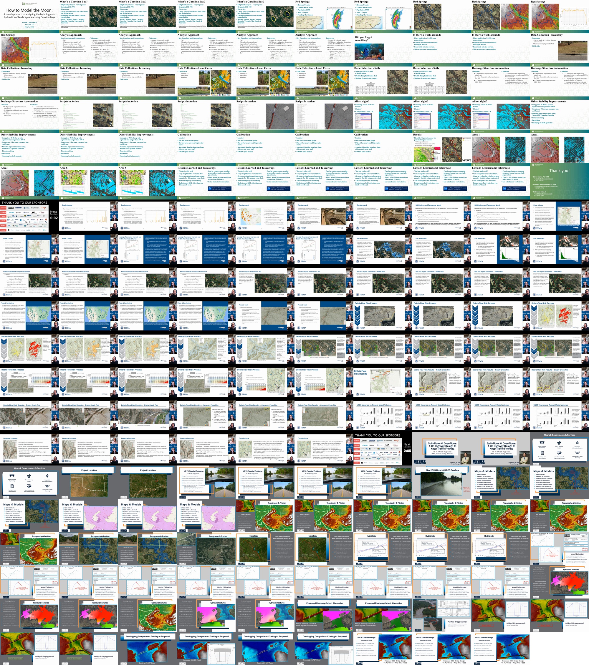
Abstract: Red Springs, a town of approximately 3,500 located in
the upper coastal plain of North Carolina, may not technically be the moon;
however, it bears a striking resemblance to our lunar neighbor when viewed
through the lens of a digital elevation model. Like much of southeastern NC,
the landscape of Red Springs is mostly flat and largely features dry Carolina
Bays. Believed to be relics of thermokarst lakes, these bays are the cause for
the unique landscape and are elliptically shaped depressions oriented
southeast-northwest. Attempting to schematically represent a drainage basin
without defined flow paths and outlets proves to be a tricky problem. To solve
this issue, WithersRavenel prepared a comprehensive HEC-RAS v6.3.1 2D model of
the Town. This presentation will discuss the following unique modeling methods
and feature lessons learned and things to consider for other technical experts
looking to replicate a similar approach.
Those methods include:
- Gridded rainfall with green-ampt soil loss to simulate precipitation, infiltration, and runoff
- How to model urban closed-drainage systems using DEM adjusted inlets and junctions
- How to leverage python scripting to model over 400 storm drain pipes
- Using 1D SWMM to validate model results and adjust object parameters
- Process of calibrating the model to historical hurricanes.
2) Rapidly Characterizing Risk from Post-Fire Debris Flows
Jamie Prochno, PE, CFM, FEMA Region 8, jamie.prochno@fema.dhs.gov
Co-presenters: Shane Putnam, PhD; sputnam@Dewberry.com; Thad Wasklewicz, PhD; Thad.Wasklewicz@stantec.com
Abstract: Increased occurrences of wildfires and extreme rainfall have heightened the potential for post-wildfire debris flows and floods in Colorado (2021) and have caused more damages and loss of life than riverine flooding characterized by Risk MAP products. In 2013, the USGS began producing Emergency Assessments of Post-Fire Debris-Flow Hazards immediately following wildfires across the western US. They produce the probability of debris-flow generation for specific rainfall intensities and estimates of debris-flow volumes at burned watershed outlets. USGS models do not consider runout pathways downstream of the watershed, debris-flow depth, or inundation. We built on the USGS models and constructed a nimble framework that can be both customized and rapidly deployed using publicly available, nationally consistent datasets to quantify the potential impact of debris flows to infrastructure. A two-phase approach was developed to accommodate both screening-level and detailed risk assessments. In the screening-level phase, we developed a combined risk and impact assessment to screen and prioritize the most vulnerable locations within nine wildfires in Colorado. The highest ranked HUC-12 watersheds from each wildfire were selected for additional analysis in the detailed risk assessment phase. In this phase, a credible debris flow susceptibility scenario was developed and modeled probabilistically to support the development of the risk cost to infrastructure within the nine wildfires. Results from both phases of the risk analysis show a high correlation with areas known to have debris flows in 2021 and 2022. This presentation will show how our nimble approach to post-fire debris flow hazard assessments can provide direct short-term measures to ensure safety to life and property before the next flood season and inform planning and mitigation efforts long-term. This underscores the value of characterizing the changing nature of flood hazards in a probabilistic way, which helps tailor risk information to the needs of the western US.
3) Split-Flows & Over-Flows: A US Highway Design to Keep Traffic Flowing
Kyle Miller, Meshek & Associates, LLC, kmiller@meshekengr.com
Co-presenters: None
Abstract: US Highway 70 at Muddy Boggy Creek, located in southeast Oklahoma, was forced to shut down twice in 2015 due to severe flooding. Although, the bridge had more than adequate capacity to handle flow through the channel, the stream overtopped the highway roughly 0.75 miles to east of the channel bridge due to a large split flow just upstream. The Oklahoma Department of Transportation has resolved to reduce the frequency of floods overtopping US-70 through the construction of an overflow bridge. Modeling of the project comes with the added challenges of the local topography and hydraulic structures. The upstream floodplain is several miles across, even in a more frequent floods such as a 20% AEP flood, acting more like a reservoir than a stream. Flow in the channel rushes through a narrowed corridor, while flow at the overflow is wide and slow due to the inverse slope and a railroad embankment just downstream. The railroad creates a tailwater condition for the highway overflow location, controlling water-surface elevations and velocities. The presentation will cover: hydrologic methods for Muddy Boggy Creek, ultimately using the stream gage at the US-70 project site; hydraulic topography and structural challenges in a 2D model; calibration of hydraulic model to the stream gage and observed measurements; lastly, the final project design layout to reduce the frequency of highway overtopping. We want listeners to gain an understanding of how to anticipate, model, and design infrastructure in scenarios of large stream split flows, overflow topography, and adjacent hydraulic structures.
Contributors
-
Steve Marks
Mr. Marks is WithersRavenel’s Director of Stormwater. He is a veteran stormwater and environmental engineer, with more than 12 years of project experience. Areas of expertise include coastal resiliency and surge modeling, stormwater design, watershed master planning, stream and wetland restoration, hydrologic and hydraulic modeling, FEMA floodplain permitting, residential storm drainage design, GIS analysis and mapping, enterprise software development, dam break analysis and EAP and project management. He is committed to client communication, community engagement, and customer service. He is proficient in a variety of modeling programs.
-
Jamie Prochno
Jamie is a Professional Engineer with over 16 years of experience modeling and managing flood risk. At FEMA Region 8, she serves as the technical lead for the Risk MAP program and the Dam Safety Program Manager. Previously, she worked as a Civil Engineer with the U.S. Army Corps of Engineers, Omaha District and as the National Flood Insurance Program Coordinator for Colorado.
-
Kyle Miller
Kyle earned a Bachelor of Science degree in Civil Engineering from The Georgia Institute of Technology in 2010. His first position was at a Geotechnical Engineering firm, working in soils and construction for 3 years. Kyle joined Meshek & Associates in May 2014 to pursue a career as a Water Resource Engineer. He currently serves the company as a Project Manager in the Water Resources department. Kyle is a Professional Engineer and Certified Floodplain Manager in the State of Oklahoma. His experience in water resource engineering ranges from stormwater master planning for communities, hydrologic and hydraulic studies of streams and storm sewers, highway stream crossings studies for Oklahoma Department of Transportation and Oklahoma Turnpike Authority, to FIS &FIRM products.