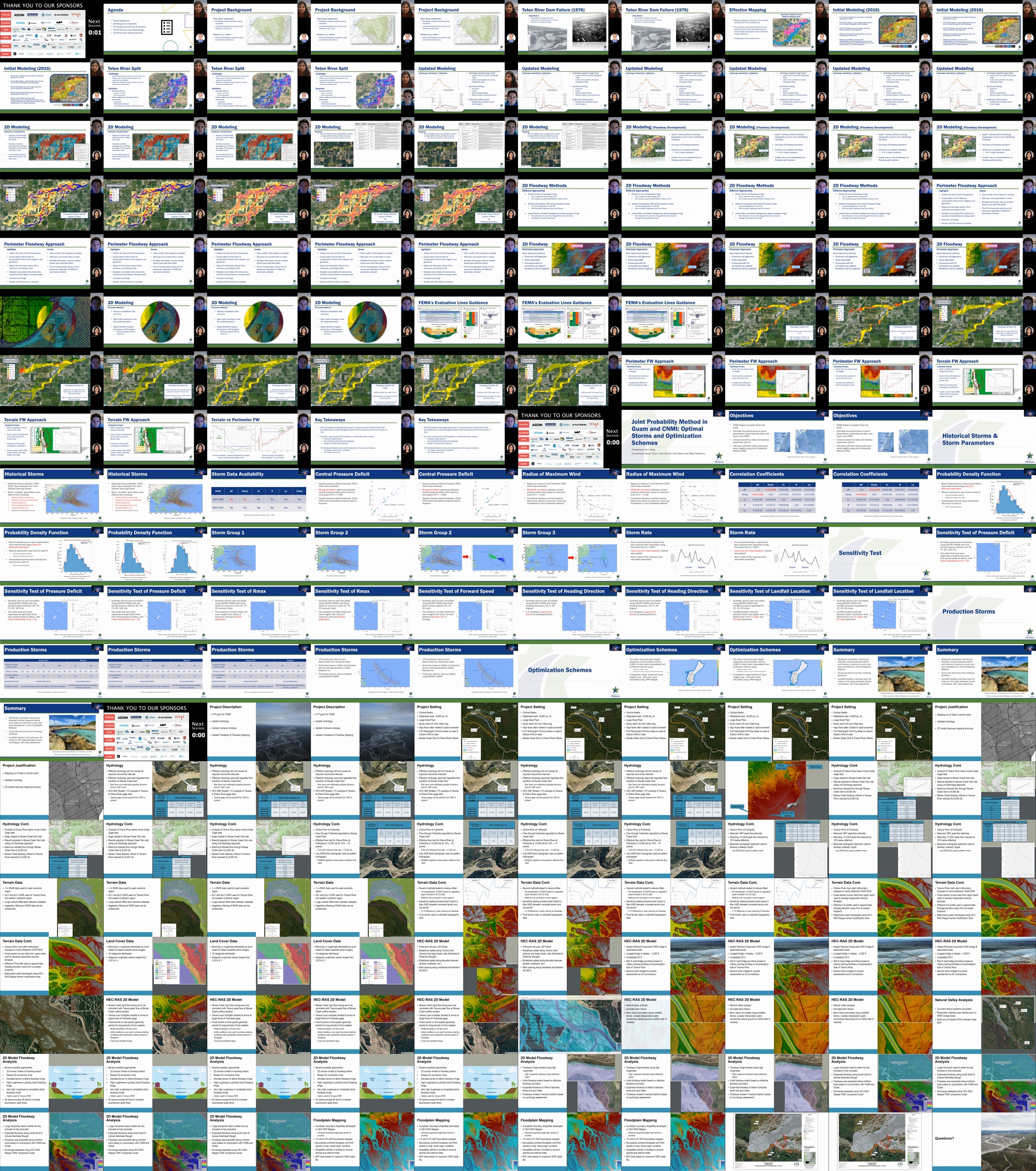
A4: Modeling to Mapping Case Studies

Loading video

This video is currently being processed. It will be ready for viewing shortly.

A small thumbnail of this item.

Description

1) Teton River: 2D Modeling Complexities and Floodways
Brandon Gonzalez, EIT, Atkins brandon.gonzalez@atkinsglobal.com
Co-presenters: Soumya Sagarika, soumya.sagarika@atkinsglobal.com

Abstract: This presentation will cover a project located in Madison Co., Idaho. This is the area in which the Teton Dam failure occurred in 1976 and produced catastrophic damage. FEMA and STARRII are exploring the updated floodplain mapping using 2D split-flow floodways to better inform the community of its flood risk and help mitigate any future flood damages. The presentation will talk about the history and coordination of the project with the community, calibration, levee considerations, and 2D floodway development.

2) Joint Probability Method in Guam and CNMI: Optimal Storms and Optimization Schemes
Kun Yang, PHD, CFM, Stantec, kun.yang@stantec.com
Co-presenters: None

Abstract: STARR II is supporting FEMA Region 9 in a Flood Insurance Study (FIS) to update the flood hazard information for the territories of Guam and The Commonwealth of the Northern Marianna Islands (CNMI) by applying the Joint Probability Method with Optimal Sampling (JPM-OS) via two optimization schemes. First, historical storms affecting the area between 1945-2021 were reviewed, storm landfall parameters including central pressure deficit, radius of maximum wind, storm forward speed, storm heading direction, and landfall location were determined. Synthetic storms were then developed using combinations of these landfall parameters. Sensitivity analysis was conducted by simulating the synthetic storms using coupled ADCIRC and SWAN. From the sensitivity analysis approximately 150 optimal storms were selected from all possible synthetic storms by analyzing the surface response (storm surge level) and wave heights within select nearshore and offshore stations around the islands. The optimal storm suite was then used in the JPM-OS with two optimization schemes, including a Kriging surrogate model and the Response Surface model. From these results probabilistic water levels and wave heights were calculated. This presentation will describe the methodologies of sensitivity analysis and selecting the optimal storm suite for production runs. Also, the advantages and limitations of the Kriging surrogate model and response surface model will be discussed.

3) Tanana River PMR: Floodplain & Floodway 2D Modeling and Mapping on a Large Braided River System
Keith Weaver, PE, HDR Engineering, keith.weaver@hdrinc.com
Co-presenters: Mark Forest, mark.forest@hdrinc.com

Abstract: A Physical Map Revision for 45 river miles of the Tanana River in the area of Fairbanks, AK was initiated utilizing grant funding obtained by Fairbanks North Star Borough through the FEMA Cooperating Technical Partner program. Updated hydrology was developed utilizing Bulletin 17C analysis of USGS gage records to calculate peak flow rates for the Tanana River, as well as for the Chena River, a major tributary to the Tanana. Unsteady flow hydrographs for input into the HEC-RAS hydraulic model were created using the balanced hydrograph method. A fully two-dimensional (2D) HEC-RAS model was developed, extending from the area of Salcha, AK to 9 miles downstream of Fairbanks, AK. Channel bathymetry was imposed upon the model terrain using HEC-RAS Mapper terrain modification tools. Floodplain modeling included a Natural Valley Analysis of possible breaches of the Richardson Highway which runs along the right bank of the Tanana in the upper portion of the model domain. Floodway modeling within a 2D hydraulic model is a complex issue, especially in a region like the Tanana braid plain, which includes numerous extensive side channels. The currently effective floodway along the Tanana within the study reach was updated utilizing high Manning’s n roughness values to exclude flow from the floodway fringe within the 2D model. This approach is one of several options being assessed by FEMA. This project has been submitted to the current FEMA IPT committee as an example of 2D floodway modeling challenges in a highly braided system. This presentation will illustrate the potential options for modeling floodway fringe in a 2D simulation and the hydrologic and hydraulic results of the floodway analysis with a blocked fringe.

Contributors

  • Brandon Gonzalez

    Brandon Gonzalez is an EIT with 3 years of experience with water resources engineering analysis. This experience includes hydrologic and hydraulic analyses of watersheds, open channel hydraulics, FEMA FIS Report production, and flood zone mapping developments across various states and regions. Brandon is proficient in 1D and 2D H&H studies using his proficiency in HEC-RAS, HEC-HMS, and GIS software. Brandon specializes in novel modeling techniques and methods with a keen interest in 2D hydraulic modeling with an emphasis in complex modeling scenarios, such as urban drainage, watershed level 2D BLE, and levee and dam risk analysis.

  • Kun Yang

    Kun is a coastal and environmental engineer with a background in numerical modeling, storm surge forecasting and coastal hazard mapping. He is specialized in model development and calibration of hydrodynamic and hydraulic models including ADCIRC, DELFT3D, MIKE21, HECRAC, and applying the models to study storm surge, coastal flooding, sediment transport, and morphological changes. As a Certified Floodplain Manager, Kun has rich experiences in developing and using FEMA’s Flood Insurance Rate Maps, reducing the flood losses, and enhancing the natural and beneficial functions of the floodplains. Kun got his PhD in Coastal Engineering from the University of Florida.

  • Keith Weaver

    Keith Weaver is a Senior Water Resources Engineer with HDR with over 20 years of experience in hydrologic and hydraulic modeling, as well as floodplain management. He has been involved with numerous large-scale FEMA floodplain Physical Map Revisions, as well as dam breach analyses and flood management design projects.