Description
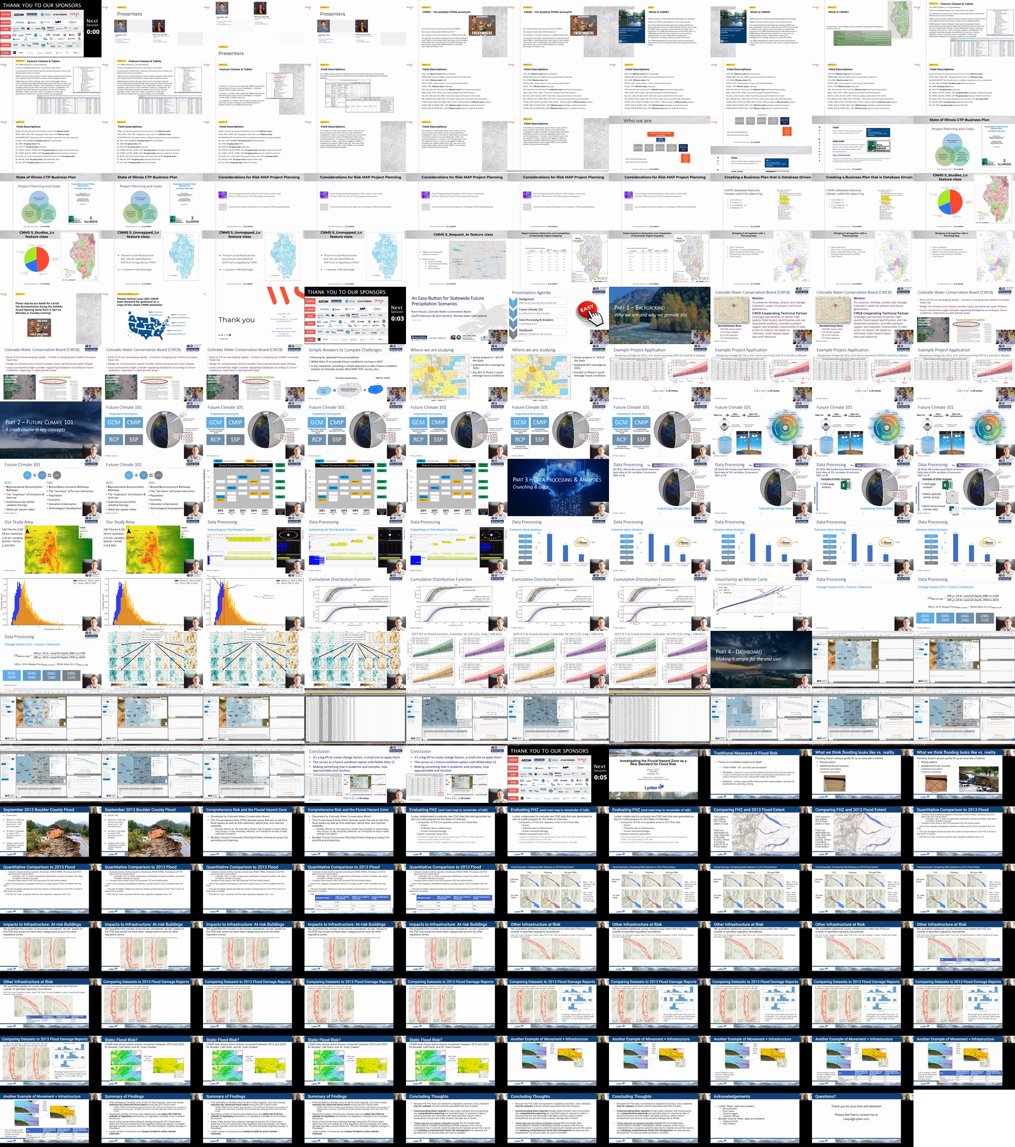
1) FEMA’s CNMS Database as a Project Planning Tool – An Illinois Case Study
Tripp Spear, GISP, WSP USA Environment & Infrastructure Inc., tripp.spear@wsp.com
Co-presenters: Marni Law, marnilaw@illinois.edu
Abstract: The Coordinated Needs Management Strategy (CNMS) “is a FEMA initiative to update the way FEMA organizes, stores, and analyzes flood hazard mapping needs information for communities.”, and is the sole source for tracking FEMA’s NVUE percentage metric (the portion of flood studies which currently meet or exceed FEMA’s minimum quality standards). The CNMS database is a combined repository of geospatial and attribute information detailing the geographic extents of existing flood hazard analyses and the methods by which they were studied, tracking ongoing studies and documenting areas of future study needs. The CNMS database can be leveraged as a powerful planning tool when a region proposes funding or evaluates a new or updated flood study scope. This presentation will present real-life case studies on how to create a business plan that is database driven with CNMS as the primary engine. Specific examples will be showcased including the Illinois Cooperating Technical Partner’s uses for Discovery, planning and project status.
2) An Easy-Button for Statewide Future Precipitation Scenarios
Geoff Uhlemann, PE, PMP, CFM, Michael Baker, geoff.uhlemann@mbakerintl.com
Co-presenters: Terri Fead, terri.fead@state.co.us
Abstract: This presentation showcases how Colorado’s Cooperating Technical Partner (CTP) program is preparing communities for potential future conditions. Communities are becoming increasingly aware of trends in severe weather and considering planning future development around a different climate and risk exposure. However, assessing future precipitation outcomes due to climate change for each specific project can be a rather involved effort. Therefore, Michael Baker and the Colorado Water Conservation Board (CWCB) are undertaking a statewide effort to develop precipitation scalars across a range of recurrence intervals and projected timeframes such that future Risk MAP studies can readily integrate future climate scenarios into the flood hazard analyses without performing the prior data-intensive legwork. We will overview the methodology to develop projected future intensity duration frequency (IDF) curves that can be easily resourced in future and ongoing studies across the State to plan, design, and build infrastructure to be more resilient to climate change. This effort involves intensive data processing of the CMIP6 global output with downscaling to arrive at a raster of precipitation ratios by frequency and timeframe. These rasters are then resourced in ongoing and future Risk MAP studies to readily modify future precipitation scenarios that can be efficiently modeled and presented to communities as non-regulatory information without involving a new climate analysis for each project. Efforts like these help advance toward FEMA’s goal of producing climate informed products that drive resilient outcomes.
3) Investigating the Fluvial Hazard Zone as a New Standard for Flood Risk
Laura Keys, Lynker, lkeys@lynker.com
Co-presenters: Bill Szafranksi, bszafranski@lynker.com; Ryan Spies, rspies@lynker.com; Graeme Aggett, gaggett@lynker.com
Abstract: Flood risk is typically identified as a function of riverine flooding, often through such regulatory zones as FEMA’s Flood Insurance Rate Maps (FIRMs) that take into account the extent and depth of flood waters, though flood risk also comes in the form of avulsion and debris flows in mountainous terrain and alluvial settings. In Colorado the Fluvial Hazard Zone (FHZ) denotes areas that are at risk from flood waters as well as from sediment, debris flow, and channel instability. Lynker collaborated with the Boulder County Community Planning Division to evaluate new FHZ data that was generated as part of a pilot program for the State of Colorado. We compared several existing regulatory floodmaps (FEMA FIRMs, Floodway, setbacks) to FHZ data, calculating agreement between the different maps in their coverage of the record 2013 Boulder County Flood, and quantifying the number of structures considered “at-risk” based on the FHZ that would not have been categorized as such by other regulatory zones. We found that the FHZ provides sufficient coverage of the 2013 Flood extent; that the FHZ includes more “at-risk” structures than any other regulatory dataset; and that the 500-year FIRMs are the closest approximation to the FHZ but still leave out a portion of infrastructure and area, including structures that filed damage claims from the 2013 Flood. We also found that Boulder County streams are actively changing based on multiple LiDAR datasets, which questions the appropriateness of using only traditional flood maps to define flood-related hazards in Colorado. This presentation will highlight findings of our comparison of the FHZ to other regulatory floodmaps in Boulder County, CO, and make the case for community planners to take an integrated approach to flood risk planning that considers non-water hazards.
Contributors
-
Tripp Spear
Tripp Spear, GISP is a Technical Professional III – GIS Analyst with WSP USA Environment & Infrastructure Inc. in the Topeka, KS office. He has a background in FEMA’s Coordinated Needs Management Strategy (CNMS) and NFIP program. He specializes in CNMS processes and procedures, quality control and database management.
-
Geoff Uhlemann
Geoff is a team leader at Michael Baker who manages fun projects and innovative initiatives. His primary focus is charting out rain-on-mesh best practices and graduated data. Basically, Geoff likes working on cool sciency stuff with great coworkers and clients. He is also a proud father of five girls, happily involved at church, camps, and rock climbs.
-
Laura Keys
Laura Keys is a Water Resources Scientist for Lynker. Ms. Keys completed her MS degree in computer science at UC Berkeley and a MS in ecology (with a focus on water resources) from University of Georgia’s River Basin Center, and is a PhD candidate in Natural Resources at the University of Jena Germany. She has over a decade of experience and expertise in water resources-related geospatial analysis, computational hydrology, and modeling. She has conducted research in water bodies around the world, ranging from the swamps of Louisiana to the high-altitude mountains of Tibet, with a focus on urbanization impacts to streams and the role of climate change on the hydrologic cycle. She maintains a close working relationship with NOAA’s National Weather Service, utilizing the National Water Model to develop and evaluate near-real-time flood inundation maps. She volunteers her time as a member of Lynker’s Diversity & Inclusion Committee and as a reviewer for NSF and numerous scientific journals.