D8: Using Technology to Innovate FPM Solutions

Loading video

This video is currently being processed. It will be ready for viewing shortly.

A small thumbnail of this item.

Description

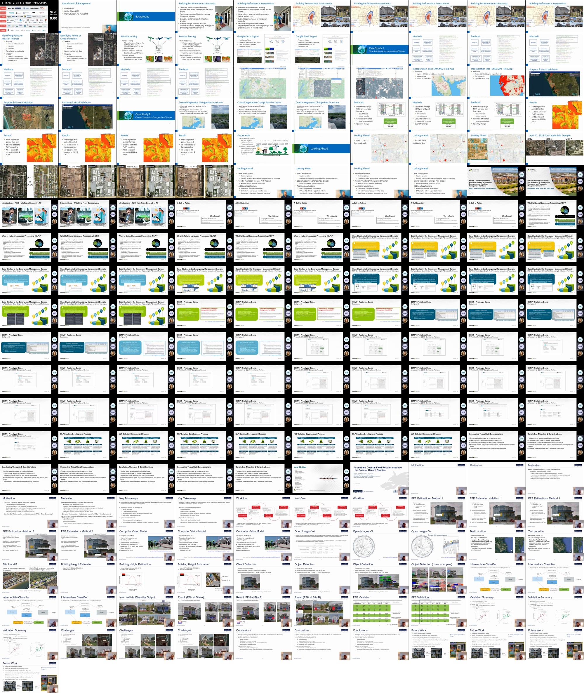
1) Satellite Data & Artificial Intelligence for Assessing Natural Disaster Impacts
Amy Kopale, CDM Smith, kopaleam@cdmsmith.com
Co-presenters: Caitlin Olson, CFM; olsoncm@cdmsmith.com; Manny Perotin, CFM, PE; perotinma@cdmsmith.com

Abstract:
With natural disasters becoming more frequent and severe, finding effective ways to measure their impacts is as important as ever. Recent improvements in publicly available satellite data, artificial intelligence, and cloud-based computing platforms have helped spur new methods for measuring these impacts. This presentation will highlight two ongoing projects that use remote sensing, open-source programming, and Google Earth Engine to evaluate disaster-related land cover and environmental changes in the Gulf Coast. The first project uses these tools to apply an AI model that identifies new urban development in a disaster-affected area. These results can be used to support several post-disaster strategies, including the effectiveness of new building codes in reducing damage. The second project uses these tools to assess coastal vegetation at a national park pre- and post-hurricane. These results can be used to better understand environmental impacts, guide land management decisions, and improve future mitigation plans. Using these projects as examples, we will discuss different satellite data types and applications, analysis methods, and challenges and limitations. We hope this initial work will evolve into more robust remote sensing and AI/ML methods for disaster analysis in the future.

2) Applying Technology Solutions to Evaluate Flood Risk, Grants, and Program Compliance
Patrick Heck, CSM, SP, Guidehouse, pheck@guidehousefederal.com
Co-presenters: Megan Robinson, mrobinson@guidehousefederal.com

Abstract:
Guidehouse is leveraging cutting-edge Natural Language Processing (NLP) algorithms, network analyses, and intelligent automation to help users gain predictive insights from vast amounts of documents, open-source text, and image data – as included in emergency action plan, CRS documentation, grant funding applications. Guidehouse Technology Solution experts will share use cases for NLP that will help FEMA and the ASFPM community extra relevant data to improve risk management, application evaluation, documentation review, and program compliance more efficiently. Further, the speakers will demonstrate capabilities that can help communities participating in the CRS to score their efforts across the 19 scorable activities in accordance with the CRS Coordinator’s Manual and help state grant coordinators to pre-score grant applications to improve outcomes. NLP techniques are harnessed to reduce bottlenecks associated with ingesting large semi- and un-structured text datasets and optimize text analysis workflows (e.g., grant applications, CRS scoring). NLP analyses can significantly increase the efficiency of processing text data and consequently increase the ability of human analysts to automatically and rigorously extract information. To facilitate feedback between analysts and a NLP system, our team developed user interfaces (UI) that provide views of NLP data products, such as topic models, document summaries, and document classifier functions. This demonstration will provide ASFPM community members with trends in emerging technology, use cases relevant to FEMA business processes that continue to evolve as a result of new funding, regulations, and program transformations like RR2.0, CRS Next, and BRIC.

3) AI-Enabled Coastal Field Reconnaissance for Coastal Hazard Studies
Arslaan Khalid, Michael Baker International, arslaan.khalid@mbakerintl.com
Co-presenters: Matheus Fagundes; mf99274@uga.edu; Muthukumar Narayanaswamy; mnarayanaswamy@mbakerintl.com; Celso Moller Ferreira; celso.mollerferreira@mbakerintl.com

Abstract: Reliability of the overland wave modeling using WHAFIS is highly dependent on the accuracy detailed data, along transects, that are critical to inform model inputs. Such information is not readily available and historically, survey crews are sent in the field to conduct detailed field observations. Recently, extensive high resolution street level data is accessible through tools such as Google Earth™. This data can be used to augment and inform field surveys there by increasing efficiency, accuracy, and lowering time and effort. One example of a key parameter required for coastal overland wave modeling studies are the First Flood Elevations (FFEs) of buildings along transects. An alternative approach is to use the digital panoramic photos captured by google earth street view to quantify FFEs. These images are georeferenced and using computer vision, they can help provide an estimate of FFE. In this presentation, we present a methodology to train a computer model to capture building heights using google street view panoramic images and provide validation using field reconnaissance data. Such an automated workflow can reduce the need for field survey and can be cost effective.

Contributors

  • Amy Kopale

    Amy is a GIS Specialist at CDM Smith with experience in geospatial analysis, remote sensing, and AI/ML. Her work often involves using publicly available data and open source software to better understand human-environmental relationships.

  • Patrick Heck

    Patrick Heck, CSM, is a Director at Guidehouse. advising clients in areas of strategic planning, change management, agile application development, and technology implementation to Federal clients. Mr. Heck is a leader in Guidehouse’s Technology Consulting practice and has spoken at ASFPM on emerging technology trends impacting emergency management, mitigation, and community resilience. Megan Robinson, is an Associate Director in Guidehouse Technology Solutions practice. She currently supports advanced analytics across a portfolio of FEMA components, including Mission Support and Office of the Administrator where she oversees the application of NLP for external audit tracking and resolution.

  • Arslaan Khalid

    Dr. Khalid is experienced in coastal and riverine flood risk modeling/evaluation, geospatial analysis for flood mapping, estimation of risk using latest analysis techniques, and developing real time flood forecast/early warning systems. He has demonstrated these skills for problem solving across several water resources projects in research as well as industry. He obtained from his MS and PhD from George Mason University and currently he is working as a Senior Coastal Engineer from Michael Baker International.