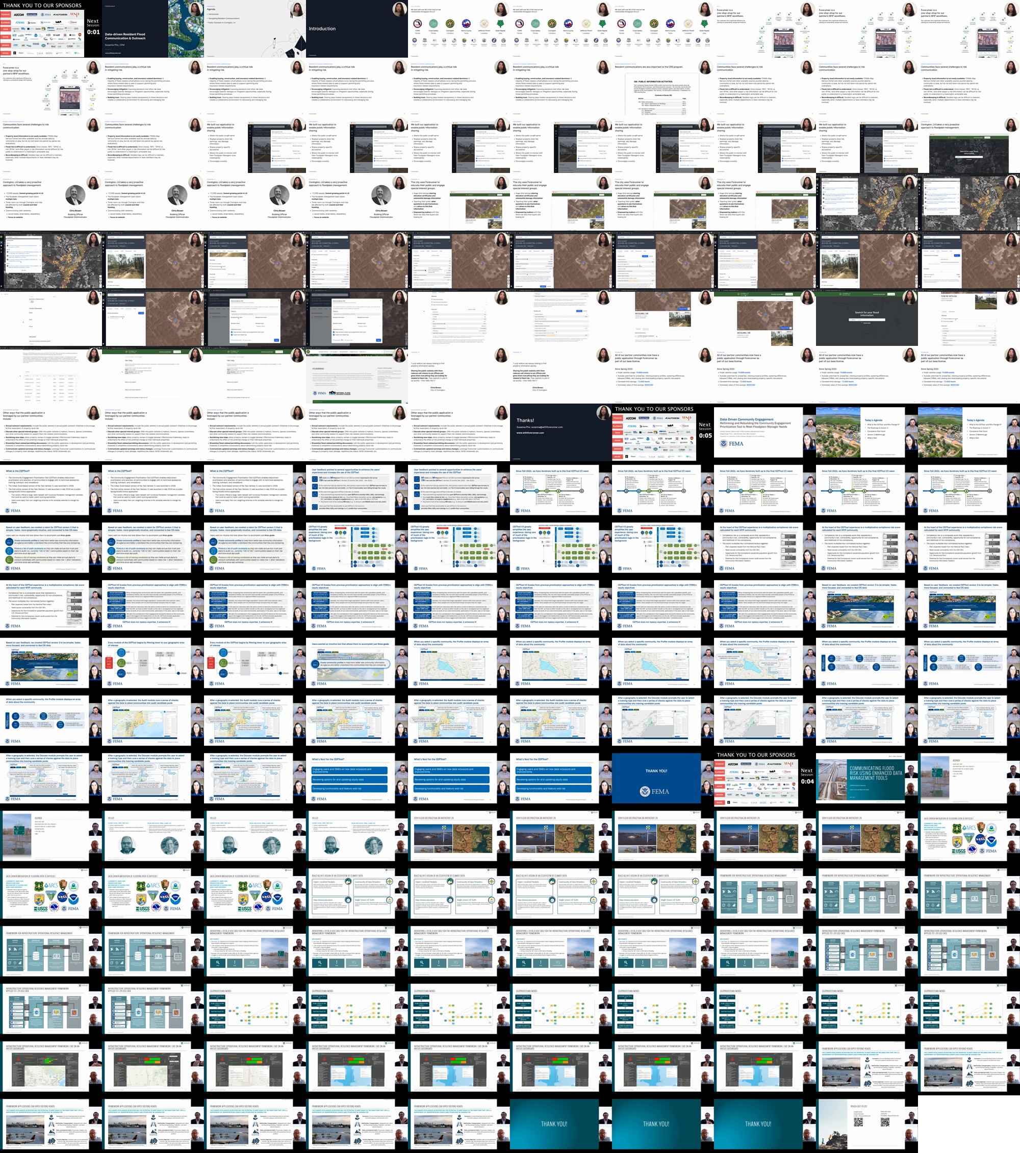
F5: Data for Engagement and Decisions

Loading video

This video is currently being processed. It will be ready for viewing shortly.

A small thumbnail of this item.

Description

1) Data-driven Resident Flood Communication & Outreach
Susanna Pho, CFM, Forerunner, susanna@withforerunner.com
Co-presenters: None

Abstract: Resident communication and outreach are fundamental aspects of floodplain management. If done successfully, they can have cascading positive effects. Providing community members with actionable flood risk information can empower them to take individual action to mitigation and adapt, resulting in fewer compliance issues over time. More-informed residents can also mean a safer community overall, with open lines of communication helping to strengthen government trust. While effective communication is crucial, making it a priority can be difficult in communities where floodplain managers have competing important tasks and not enough time. Compounding this is the need for clarity and specificity – in communities with high rates of development, residents often seek detailed information about individual properties. It can be hard to provide nuanced data to a large public and even harder to keep track of that communication for internal record-keeping or programs like the CRS. Using the case study of Forerunner’s work with a partner community, this session will outline how the community combines technology with robust outreach strategies to boost resident communication. We’ll discuss how digital tools can help communities pull together disparate datasets and mobilize information for property-specific outreach to provide smarter resources to a variety of stakeholders. We’ll explore how incorporating digital workflows into outreach can ensure faster response time, better compliance enforcement, and stronger data continuity. The presentation will also include suggestions on how other communities might be able to leverage data to strengthen their floodplain management programs.


2) Data-Driven Community Engagement: Rethinking and Rebuilding the Community Engagement Prioritization Tool to Meet Floodplain Manager Needs
Jennifer Tylander, FEMA, Jennifer.Tylander@fema.dhs.gov
Co-presenters: Gregg Bowser, Ph.D., Booz Allen Hamilton, bowser_gregg@bah.com

Abstract: The Community Engagement Prioritization Tool (CEPTool) is a geospatially enabled web application designed to assist floodplain managers at all levels in prioritizing National Flood Insurance Program (NFIP) engagements with their communities. After its version 2 release in late 2020, FEMA collected feedback from state and regional users to determine how the tool could better meet their decision-making needs. Armed with that feedback, FEMA embarked on the process of developing a new version of CEPTool in the winter of 2021. The result was a ground-up redesign of the application, with a focus on ease of use, automated data updates, new data integrations, and a new prioritization approach. This presentation will provide an overview of the CEPTool’s new vision, design, and methodology, as well as plans for future improvements.

3) Communicating Flood Risk Using Enhanced Data Management Tools
Glenn Locke, PMP, PMI-ACP, Booz Allen Hamilton, locke_glenn2@bah.com
Co-presenters: None

Abstract: The Interstate 29 (I-29) corridor runs nearly parallel to the Missouri River from Kansas City up to the Canadian border and floods frequently. In 2019, severe flooding closed the Interstate for 187 miles, setting a record for the longest stretch of interstate highway ever closed in U.S. history. The disaster’s unprecedented size and scope created a major obstacle for emergency managers to effectively communicate and coordinate across state and local jurisdictions. Across the nation, communities will face similar challenges as the effects of a changing climate increase the number and severity of extreme weather events. In 2022, I-29 stakeholders utilized INFORM, the Infrastructure Operational Resilience Management solution, to improve their flood risk awareness and mitigate future risks. To accomplish this, INFORM visualized earth observation and flood data for the I-29 region, assigned flood risk ratings to sections of I-29, and highlighted associated recommendations for flood mitigation. Today, INFORM helps state and local community decision makers across all levels of government gain an enhanced awareness of flood risk and improve response coordination. This session will present a case study on INFORM, including how its geographic information system (GIS) dashboard mapping tools and risk-derived datasets can help communities identify flood risk and better predict and respond to potential outcomes – like how many road segments are expected to flood within a number of days. Attendees will learn how vast quantities of publicly available environmental and climate geospatial data can be integrated and centralized to glean insights and better respond to complex flooding events.

Contributors

  • Susanna Pho

    Susanna Pho is a co-founder of Forerunner, a software startup working with government agencies to leverage per-property flood risk information to streamline planning, compliance, and outreach. The company has partnered with U.S. communities of all sizes, from Jefferson Parish (LA) to Harris County (TX), to mobilize data for applications ranging from regulation enforcement to adaptation planning. Susanna is a Certified Floodplain Manager based in California with experience working with local government in research and community development capacities. She holds degrees from Harvard University's Graduate School of Design, MIT, and U.C. Berkeley.

  • Jennifer Tylander

    Jennifer Tylander is the Branch Chief for the Dissemination, Outreach, and Training Branch within the Floodplain Management Division, FIMA, at FEMA Headquarters. Ms. Tylander has over 15 years working with the National Flood Insurance Program and is currently overseeing the communication tools related to the Floodplain Management Division.

  • Glenn Locke

    Glenn Locke is a program management and technical project delivery specialist with over 20 years of experience supporting Hazard Mitigation. Mr. Locke has supported FEMA’s Map Modernization Program, Risk MAP Program, National Integration Center, and National Exercise Program. Mr. Locke is experienced in providing technical expertise for Geospatial Information Systems (GIS), data analysis and visualization, and large- scale enterprise IT projects. He has a Master of Business Administration degree from Drexel University and an undergraduate degree in Computers and Information Systems from King’s College.