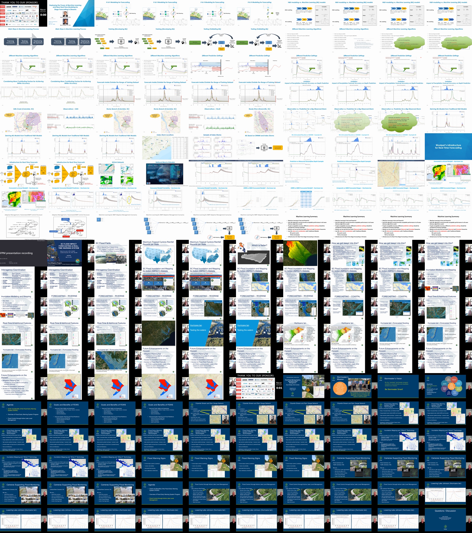
Description
1) Deploying the Power of Machine Learning for Near Real-Time Stream Stage Forecasting
Steve Godfrey, PE, CFM, Woolpert, steve.godfrey@woolpert.com
Co-presenters: Arash Karimzadeh, Ph.D., Woolpert, arash.karimzadeh@woolpert.com
Abstract: Forecasting stream flows and flood depths is an essential task in flood management and water resource planning. Hydrologic/hydraulic simulation models or data-driven approaches can be used to generate these real-time predictions. Modern advances in artificial intelligence and state-of-the-art machine learning (ML) techniques have provided new opportunities for quicker streamflow prediction processes with more efficient and accurate forecasts. In this presentation, we will dig into the use of ML to develop flow depth prediction models. Prediction models using different ML algorithms and various prediction settings are trained and validated based on the historic precipitation data and stream flow depth observations. These models apply different ML techniques, including multiple linear regression, support vector regression, random forest regression, artificial neural network multi-layer perceptron, long short-term memory and ensemble learning. Case examples will illustrate how radar and forecasted rainfall datasets can be applied to traditional H&H models and ML models to provide lead times of several hours or days in advance of a flood event. These forecasts can be critical for issuing flood warnings and the real-time operation of flood control systems.
2) SC Flood IMPACT – Leader in Flood Warning Systems for South Carolina
Maria Cox Lamm, CFM, South Carolina Department of Natural Resources, CoxM@dnr.sc.gov
Co-presenters: Jennifer Housman; jennifer.housman@aecom.com
Abstract: This presentation will discuss the tools and features of the SC Flood IMPACT (Inundation and Mapping for Action) website. This website is a state-owned flood forecasting and real-time warning system created to assist local and state governmental agencies and their communities before, during, and after large-scale flooding events. The SC Flood IMPACT website contains a library of pre-run inundation scenarios using HEC-RAS 2D modeling. It also analyzes major factors that contribute to flooding such as precipitation, streamflow, tidal influence, and initial model conditions. From each of these factors, the website continuously analyzes data at multiple intervals throughout the day. This website provides state and local officials, as well as the public, with a reliable and accessible resource to communicate flood hazards and identify areas at risk of flooding. Our vision is for the citizens of South Carolina to have the most reliable flood information available to make informed decisions for their lives. In addition to providing an overview of this flood warning system, we will discuss advances in modeling, rainfall observation, mapping, and a future mitigation planning tool and how this information can benefit flood prediction and real-time warning systems.
3) Flood Early Warning System and Active Flood Management – City of Raleigh, North Carolina
Kelly Daniel, City of Raleigh, kelly.daniel@raleighnc.gov
Co-presenters: Scott Bryant, Scott.Bryant@raleighnc.gov
Abstract: There is a greater need for flood early warning systems (FEWS) that can provide lead-time and alert notification of impending flooding at specific locations and active flood management within urban areas because urban flooding is increasing. The City of Raleigh, NC is currently developing its own Flood Early Warning System (FEWS), where capabilities include advanced prediction of potential stream flooding and at localized hotspots, with increased lead time for road closures, evacuation, and emergency response. Operational flood modeling coupled with current precipitation estimates from Gauge Adjusted Radar Rainfall (GARR) form the basis for predictive flood modeling in near-real-time (NRT). Model output is configured to produce predictive inundation maps, stream stage and discharge, and notifications when critical thresholds are reached. Results from this program offer increased lead time to notify first responders, and to help manage flood emergencies within the City before, during, and after the event. The City is also actively managing lake levels at area lakes such as Lake Johnson prior to larger storm events to help reduce the impacts of flooding downstream during storm events. This presentation will help the attendees understand the proactive steps the City of Raleigh, North Carolina, is taking to improve lead time needed for protection against flood risks, identify the tools and technologies that are available and being implemented by the City to develop an advanced modeling and warning system in an increasingly dynamic urban drainage setting, describe how results from the program will offer increased lead time to notify first responders and people in Raleigh about storm/flooding impacts, and understand how active flood management of area lakes is a key factor to reducing flooding during storm events.
Contributors
-
Steve Godfrey
Steve Godfrey is a modeling team leader with over 25 years of experience in solving stormwater problems for local municipalities and state agencies across the country. He specializes in using hydrologic and hydraulic modeling for developing stormwater master plans, developing design alternatives to improve flood management, and working with near real time stream forecasting.
-
Maria Cox Lamm
Maria Cox Lamm is a Certified Floodplain Manager and serves as the program manager of the Flood Mitigation Program in the South Carolina Department of Natural Resources. The Flood Mitigation Program contains the Floodplain Management State Coordinating Office, Floodplain Mapping and the Flood Mitigation Assistance Grant program. She is responsible for the administration, coordination, and direction of all aspects of the Flood Mitigation Program. She has been with the agency since July 2004. Maria has over 22 years of experience in the field of floodplain management. Prior to joining the South Carolina Department of Natural Resources, she was employed by Wake County, NC. Where she worked in the Environmental Services Division; Erosion, Flood and Stormwater Section for just shy of 6 years. Maria graduated from North Carolina State University with a Bachelor of Science in Natural Resources in 1998. Maria served as Chair of the Association of State Floodplain Managers from May 2017 to May 2019.
-
Kelly Daniel
Kelly Daniel has worked with the City of Raleigh for 24 years and the last 20 years with the Stormwater Management Division. In his time with the City he has served as a Housing/Environmental Inspector, Sediment & Erosion Control Inspector, Engineering Technician, Senior Engineering Technician, Business Services Manager for the Stormwater Division, and the for the past 2 years as the City’s first Flood Early Warning System Engineer. He is a graduate of Wake Tech Community College with an associate’s degree in civil engineering, is a Licensed Building Inspector and Residential Contractor.